|
 |
 |
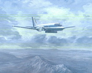
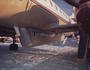
| In
1980, Bercha diversified into remote sensing with the
acquisition of this Gulfstream 1 aircraft (P8009). |
The Gulfstream was equipped with a
Motorola Side Looking Airborne Radar (SLAR). |
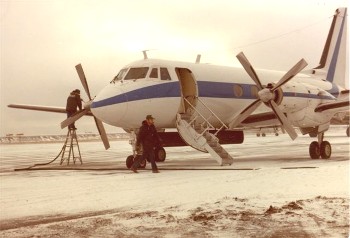
G1
at Tor Bay following iceberg patrol (1980) |
 |
|
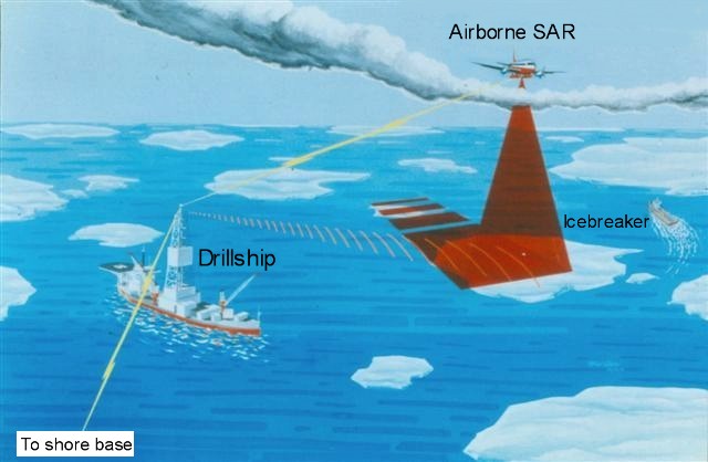
Schematic of the Bercha airborne ice
surveillance system |
 |
 |
 |
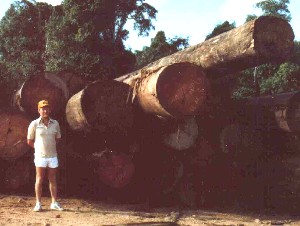
| Into
the tropics... Laser topographic mapping project for the World
Bank in Indonesia in 1985 (P8502). |
Field visit to south Kalimantan
where logging of iron wood was underway (P8502). |
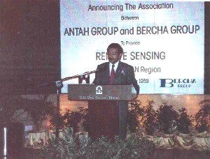
Malaysia Joint Venture (1989) with Antah Group (Chair Tunku
Naquiyuddin pictured). |
 |
 |
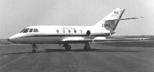
| The
Falcon aircraft C-GRSD was the platform for the electro-optical
facility during a number of projects carried out for the Canada
Centre for Remote Sensing. Scientific and technical support was
provided for the definition of mission requirements for a
satellite equipped with a Synthetic Aperture Radar (RADARSAT).
The Falcon took part in projects such as R8408, R8305, R8115.
|
The real aperture radar was
revitalized in a digital form in 1990 on a Metro II aircraft.
The system, based out of Inuvik, provided 3 years of ice patrol
service to Canadian Marine Drilling from 1990 to 1992. (P9002)
|
 |
 |
 |
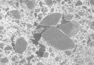
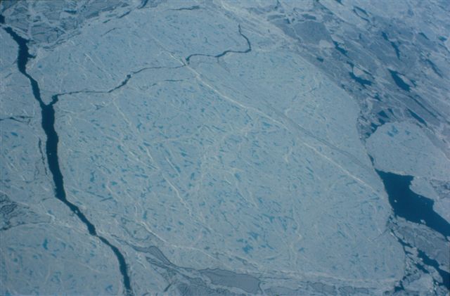
| SAR
ice image (R8301) |
Multi-year ice floe |
Katy's floeberg (SLAR image) |
 |
 |
(click this
image for enlarged view)
 |
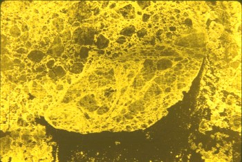
|
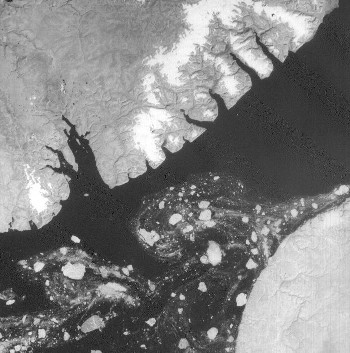
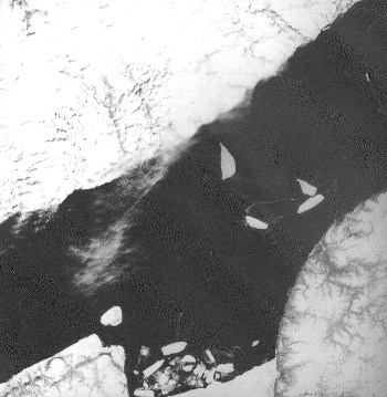
Aerial ice surveillance image 1 |
Aerial ice
surveillance image 2 |
 |
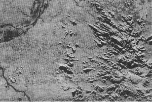 |
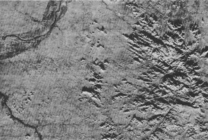
| Dual
(opposite) look radar mosaic set reduced from original 1:250,000
scale. Area shown is 18,500 km2. This is North look.
|
This
is South look of same area in southeastern Nigeria. (Project
P8318) |
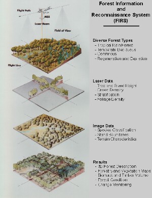
Forest Information and
Reconnaissance System (FIRS) facilitates application of remote
sensing information to resource management applications (P8203). |
 |
 |
|
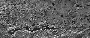
Radar image strip near Fort
McMurray, Alberta - south look, 1:250,000 (P8010). |
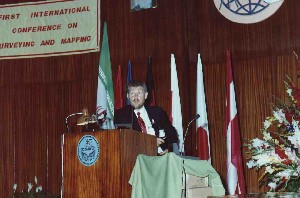
Invited address
at the First International Conference on Surveying and
Mapping in Tehran, Iran (R9023). |