|
Consulting Services Since 1975 |
Geomatics |
|
|
|
Site Navigation |
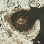
The Bercha Group possesses expertise in geomatics, including satellite, airborne and ground-truth data acquisition, interpretation, mapping, and technology transfer. |
||
|
Services Quick Links
|
Specific services offered: |
|
|
|
|||
|
|
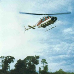
Remote sensing helicopter over tropical forest |
||
|
Applications include the following: |
|||
|
|
||
|
Visit our Projects page to learn more. |
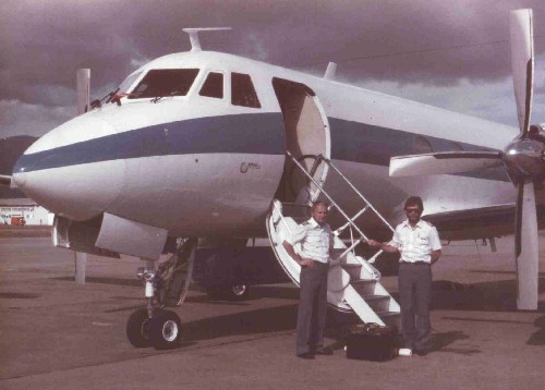
Gulfstream-1 aircraft used for maritime surveillance |
||
|
|
[About Us] [Services] [Projects] [Photo Gallery] [Publications] [Software] [Links] [Contact Us] | ||
|
This page and all contents are Copyright © Bercha Engineering Limited. |
|||